Walks in Taroona
Taroona offers a variety of scenic walking tracks, from coastal trails with stunning river views to forested paths rich in wildlife. Whether you’re looking for an easy stroll or a challenging climb, these walks showcase the natural beauty and diverse landscapes of the area.
Walks Around Taroona
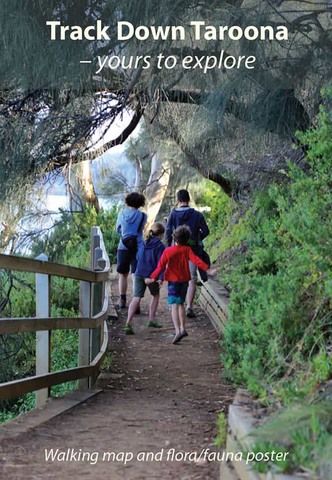
Track Down Taroona
A beautiful walking map and flora/fauna poster of Taroona, produced by the Taroona Community Association, with assistance from Taroona Environment Network and Kingborough Council.
For a printed copy, email: taroonacasecretary@gmail.com
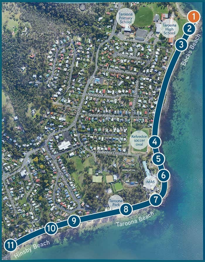
Taroona Coastal Discovery Trail
A podcast trail developed by the Taroona Environment Network. The trail runs along the coastal track from Hinsby Beach to the High School, and features 11 points where walkers can listen to podcasts on their own mobile devices.
Taroona High Grade 10 students conducted interviews with ten local experts in their special field. The interviews were recorded as audio files and edited by other Grade 10 students. You can listen to these interviews on the TEN website or by clicking on QR codes while on the trail.
Length: 4km | Approx. 1.25 hrs | Easy Grade
Truganini Track
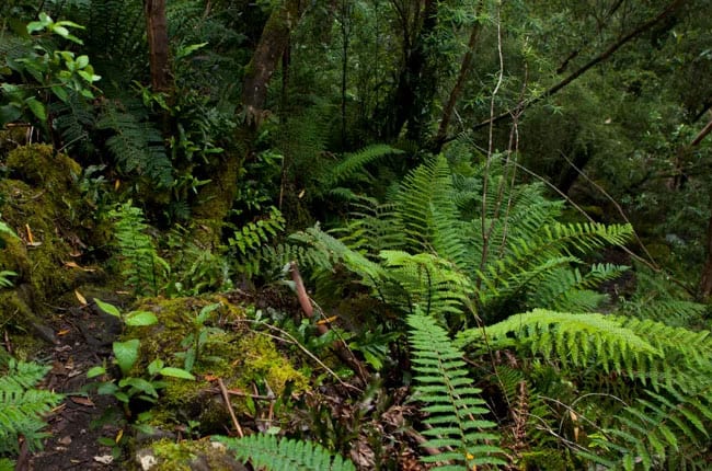
Starting at the Big Bend on the boundary of Kingborough and Hobart municipalities, it is a pleasant walk of about one hour to the signal station on the top of Mt Nelson. The track follows a creek through wet sclerophyll forest before climbing steeply up the hill into heathy dry sclerophyll.
The track emerges out onto lawns at the old signal (semaphore) station, where there are magnificent views encompassing Hobart’s northern suburbs, the city, Eastern Shore including Ralphs Bay and South Arm, and south to Betsy Island.
Light meals and drinks are available at the signal station cafe.
Wildflowers are abundant in spring and summer in the heathy upper section, and orchids, colourful fungi, ferns and mosses abound in the forested areas. Honey eaters, pardalotes, wattle birds and many other small birds are abundant in the heath, and sometimes clinking currawongs can be seen at the signal station.
A memorial sculpture for Truganini and the Tasmanian Aborigines can be visited nearby.
The return walk is much less than the climb up (25-30 minutes), and there is a metro bus service at both ends of the track (Southern Connector at the bottom, Mt Nelson bus at the top).
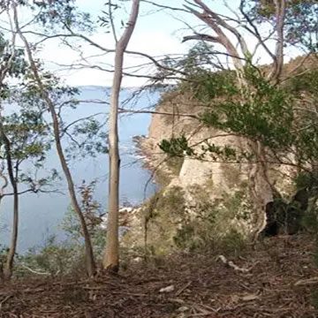
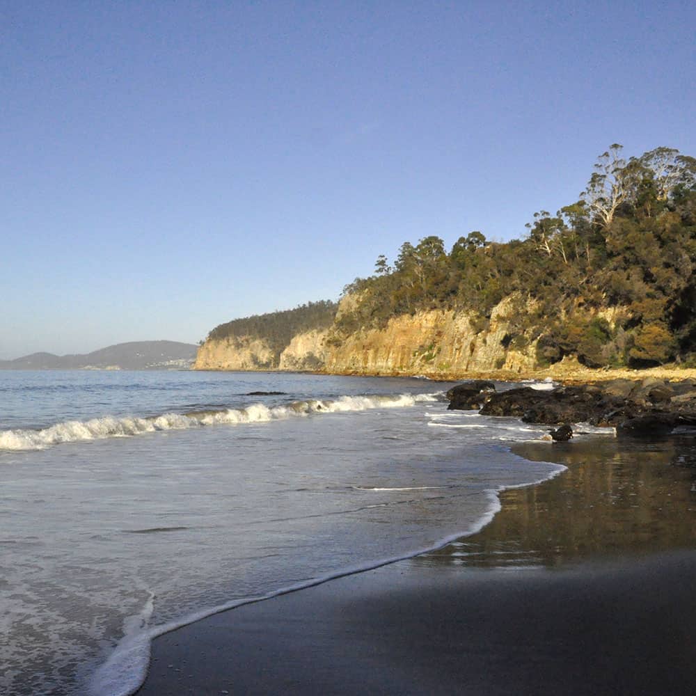
Alum Cliffs Track
Walk from Taroona to Kingston Beach (or vice versa) along the Alum Cliffs Track. The track starts in the carpark near the Shot Tower, or further north at the end of Wandella Avenue.
The track has a section of very steep steps, and at times runs close to the cliff top, so care is needed particularly with children.
Length: 6 km | Half Day | Moderate/Intermediate