About Taroona
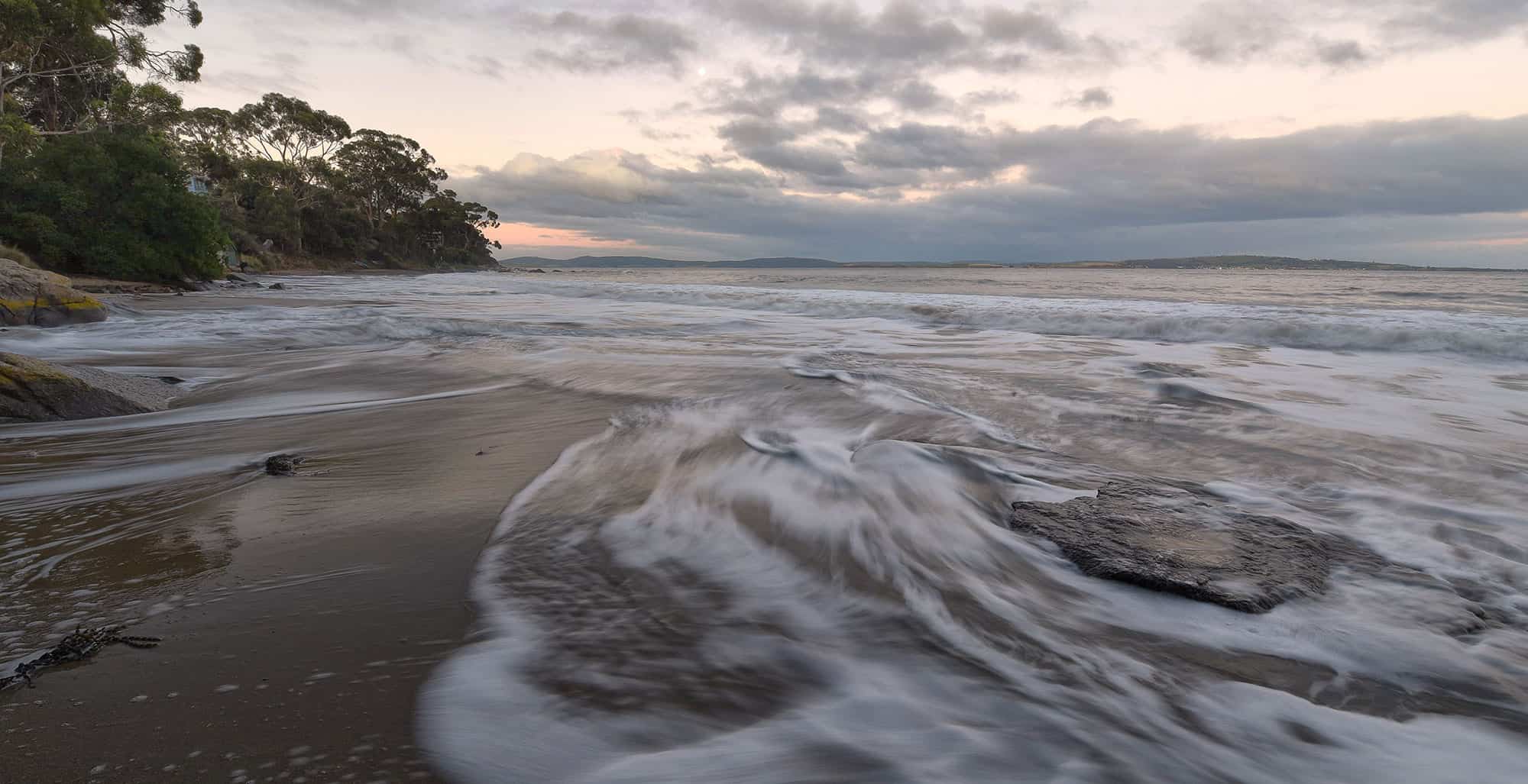
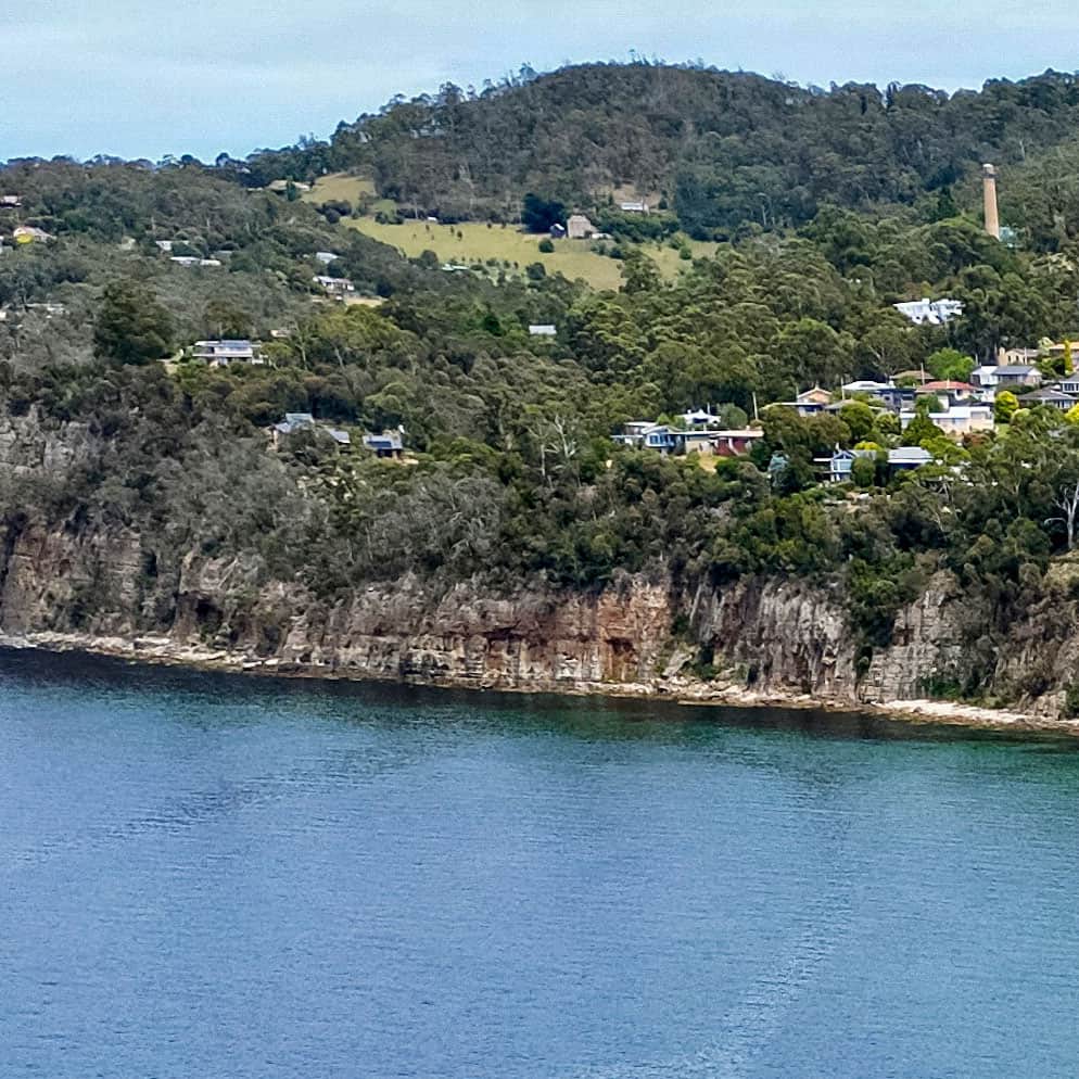
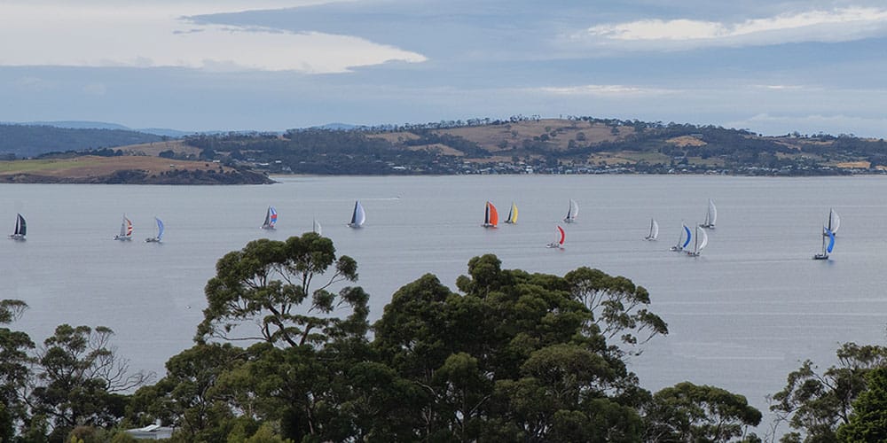
Taroona, a southern suburb of Hobart, lies between the western shores of the lower Derwent Estuary and the forested foothills of Mt Nelson and The Lea. Our elongated suburb of about 1500 households is bisected by the old Channel Highway.
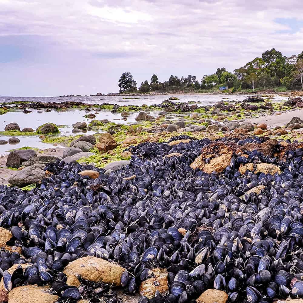
The name Taroona is said to derive from the the Aboriginal word for the chiton, a marine mollusc found on rocks in the inter-tidal and shallow sub-tidal regions of our beaches.
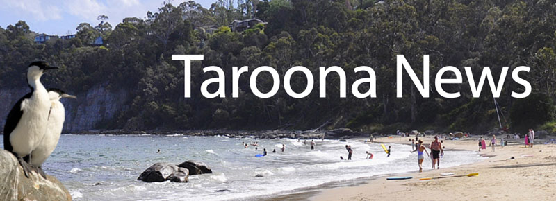
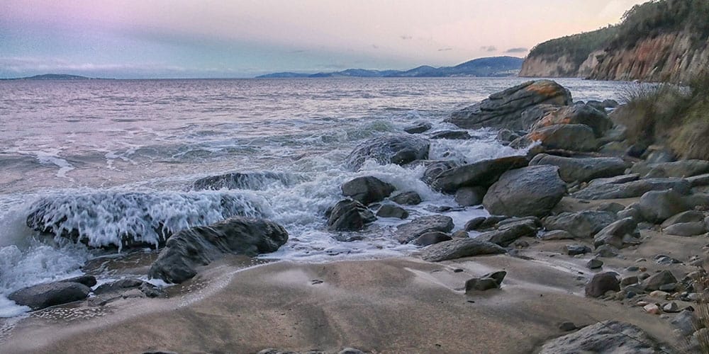
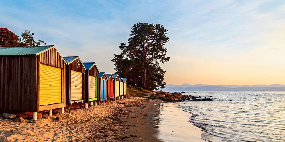
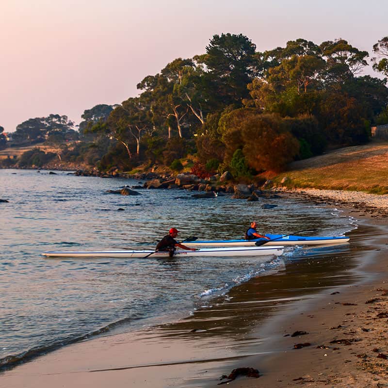
There are 5 good swimming beaches; Hinsby Beach, Taroona Beach, Becks Beach (Melinga Place), Retreat Cove (Taroona High School) and Grange Beach.
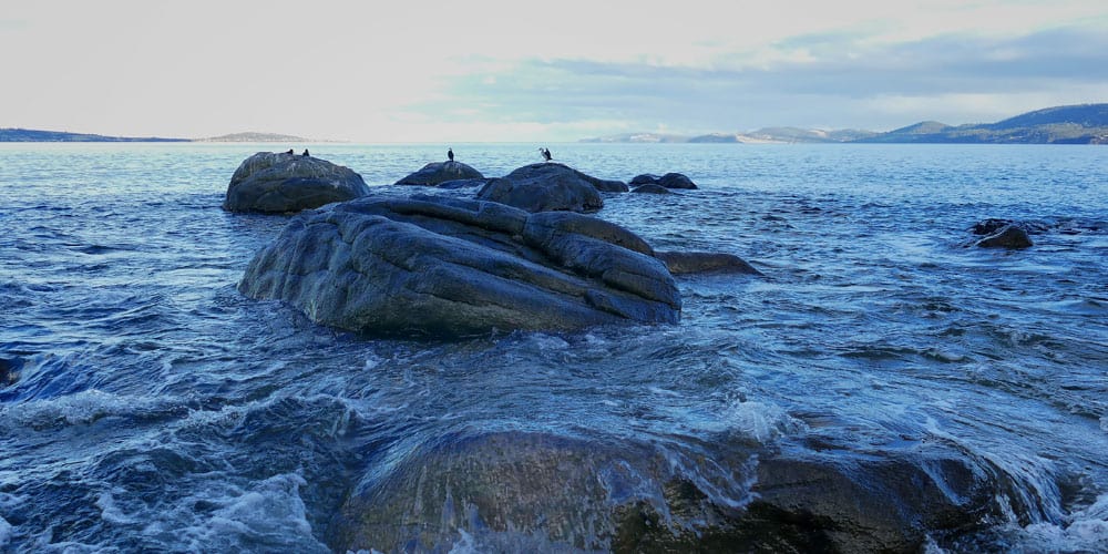
Taroona residents enjoy the coastal environment which has five safe sandy beaches, a shoreline track and many large blue gum trees full of Wattle Birds, Eastern and Green Rosellas, Musk Lorikeets and many more.

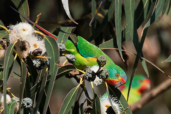
Birds of Taroona Photo Catalogue
Local resident Mick Brown has photographed a full catalogue of birds to be found in the Taroona area.
