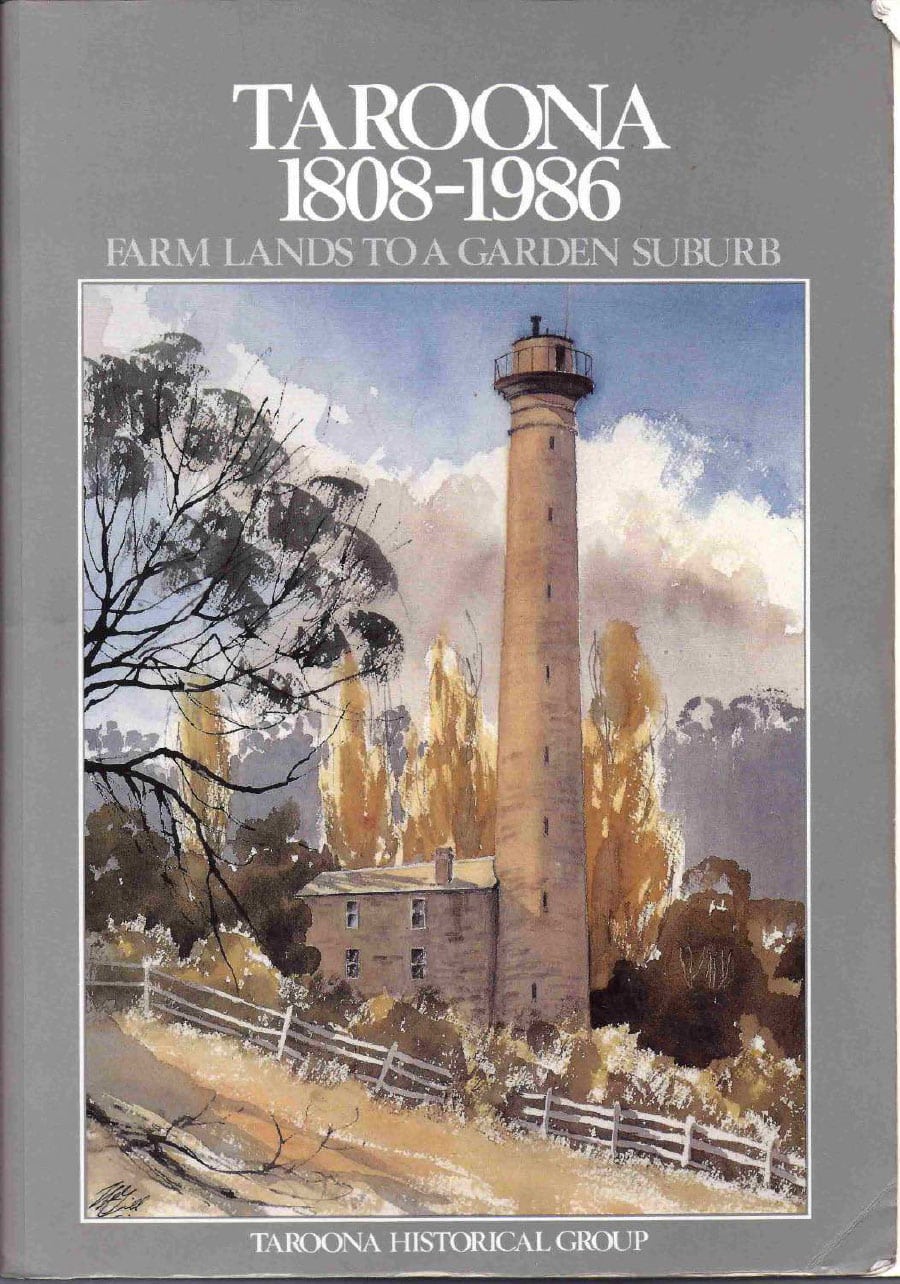
History of Taroona
Prior to the British colonisation of Tasmania, the land had been occupied for more than 35,000 years by Tasmanian Aboriginal people.
The first European settlement at Taroona took place in the early 19th century, when land was granted to settlers who had relocated from Norfolk Island. For the remainder of that century, the area was largely used for farming, and was sparsely populated.
In the mid 1890s, Clarendon James Cox Lord purchased an 18-acre property which he called Taroona. Lord built himself a pretty homestead and also established tea rooms where visitors could indulge in delicacies such as strawberries and cream while overlooking the River Derwent.
In the first half of the 20th century, more large and elegant residences were built, as well as beach shacks and cottages which were used for seaside holidays by the residents of Hobart. Taroona Post Office opened on 2 August 1906.
One famous ‘Taroona’ was the ship which plied Bass Strait between Melbourne and northern Tasmanian ports intermittently from 1935-1959. For part of this time SS Taroona was requisitioned as a troop carrier during WW2.
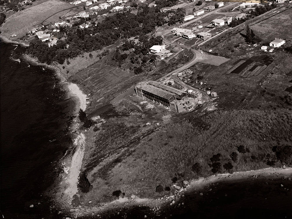
After World War II, significant subdivision of Taroona was undertaken, and the suburb’s population rapidly expanded.
The Taroona Book
Featuring articles by over 100 local authors, a history of Taroona was published by the Taroona Historical Group.
Taroona 1808-1986 Farm Lands to a Garden Suburb was published in 1988 (the Australian bi-centenary).
Known as “The Taroona Book” the whole book has been scanned and is available in digital form via a series of pdf files.
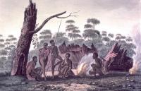
The muwinina
In the early 1800s, at the time of European arrival, Taroona was the territory of the muwinina, one of four bands of the South East nation of Aboriginal Tasmanians. According to early European records, they numbered about 80 people.
The muwinina camped on headlands and in sheltered coves, close to animal and plant food sources. From the sea they harvested shellfish including oysters, mussels, abalone and crayfish.
Living in Tasmania for many thousands of years, and along this river’s edge for around six thousand years (since sea level stabilised at its present height), Aboriginal people developed an intimate connection with the land, including a great knowledge of each plant and what it offered them.
Photos by Mick Brown
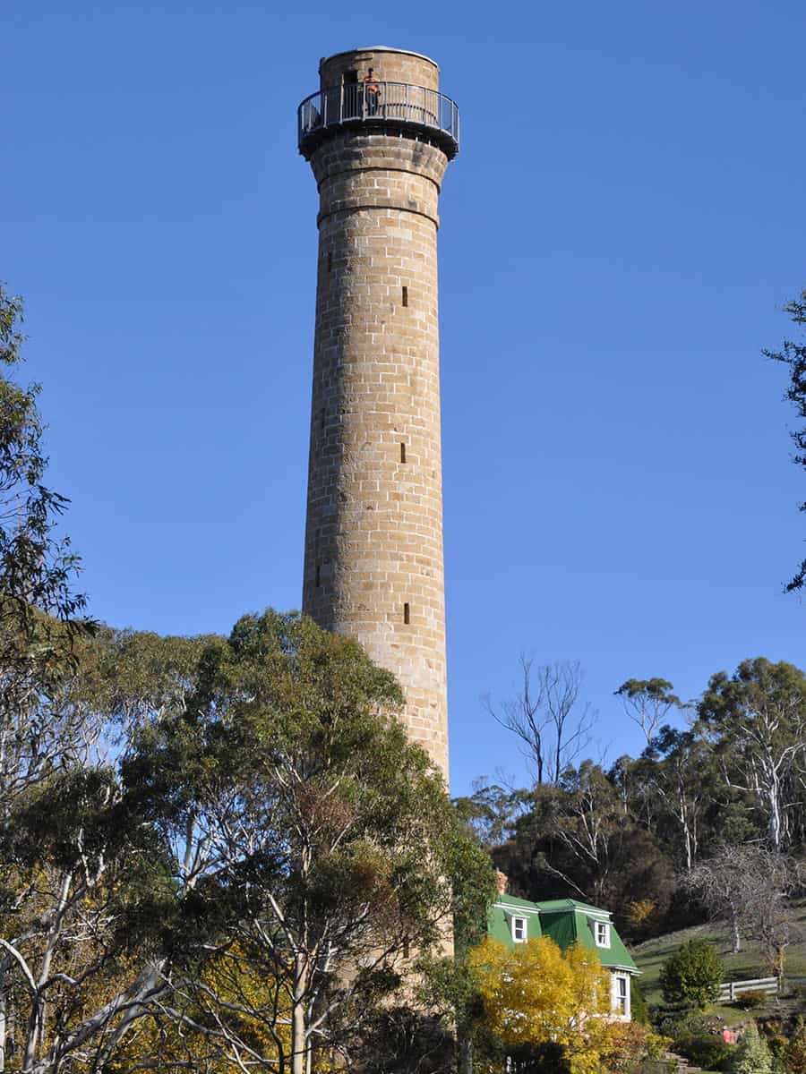
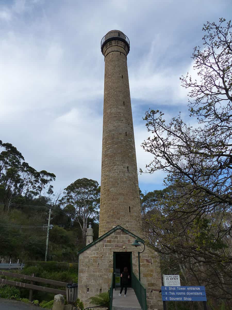
The Shot Tower
The Shot Tower is Taroona’s most distinctive and important landmark, and one of Tasmania’s most historical industrial buildings.
Situated beside Channel Highway in Taroona, it is about 11 km drive from Hobart.
Completed in 1870, at 58 metres tall it was Australia’s tallest building for four years. It was Tasmania’s tallest structure for over 100 years, until superseded by the 67 metre broadcast tower on the pinnacle of Mt Wellington. No other Tasmanian buildings as yet exceed the Shot Tower’s height, although NAB house in Collins St Hobart equals it at 58 metres tall.
Visiting
The visitor enters at level 4 above the ground and must climb 259 wooden steps to reach the open gallery at the top which gives 360 degree views across Storm Bay, South Arm and surrounding countryside.
The climb is not as difficult as it may seem, as the engineer, Joseph Moir, was mindful of the fact that his workers would have to ascend and descend many times a day. The current proprietors say that the oldest person they know to have climbed to the top was 97!
Tower Tearoom and Museum
Tower Tearoom features a tearoom, courtyard garden dining, museum and gift shop. Open 10 am – 4 pm
Shot Tower, museum and shop is open 7 days.
Please check for tearoom opening hours. Call for bookings on 0427 770 422.
More Information
> Go to Parks and Wildlife Service website which give a full description of the building and operation of the Shot Tower, including how shot was manufactured, and of Joseph Moir’s life.
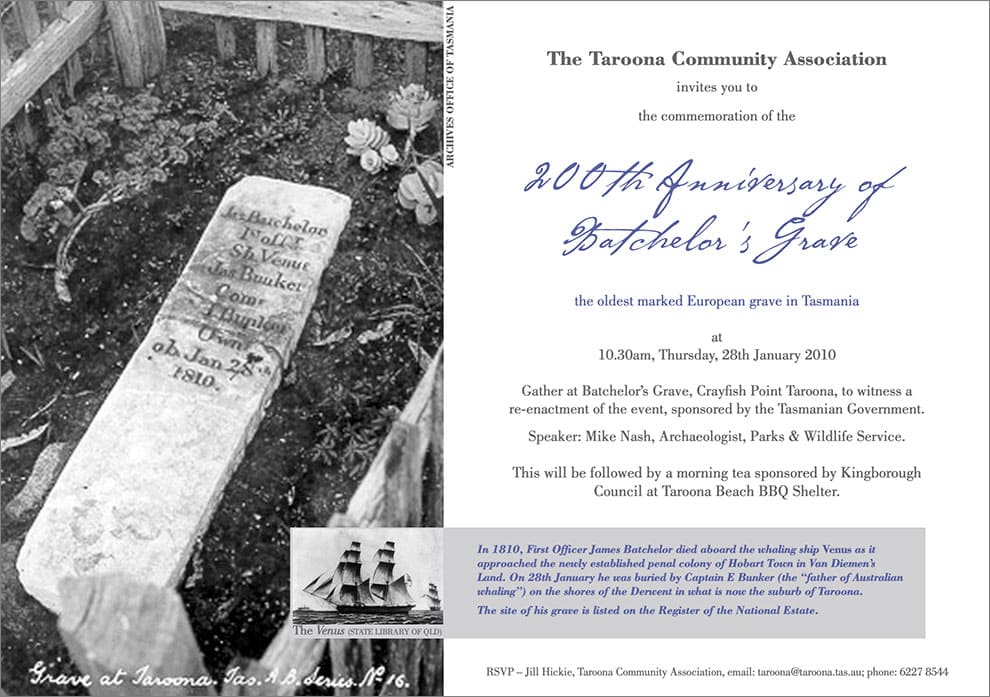
Joseph Batchelor’s Grave (1810)
Just about all that’s known about Joseph Batchelor is that he occupies the oldest marked colonial grave in Tasmania.
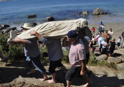
On the 28th of January 1810 Batchelor died on the approach to the then six-year-old settlement of Hobart Town, Van Diemen’s Land.
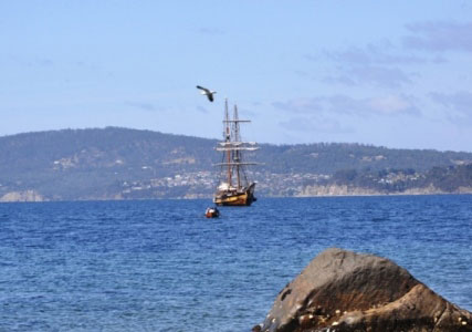
Rather than bury him at sea, the captain of the schooner ‘Venus’, Eber Bunker, dropped anchor in the Derwent and buried his second officer above the high tide mark at Taroona.
While he wasn’t the first European to die in the young colony, no one else’s grave from before that time has survived – not with their name still on it anyway.
Two centuries of salt winds, marauding cattle, bushfires, thoughtless fisherman and well meaning restoration has taken its toll on the freestone tablet inscribed with the barest details of a man’s life and death.
(information courtesy Peter Gee)
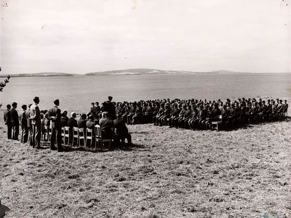
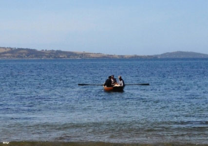
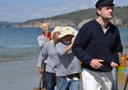
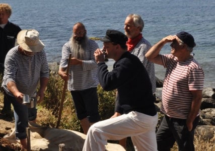
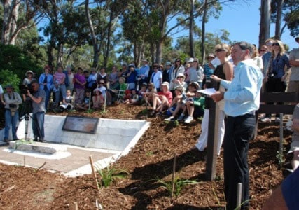
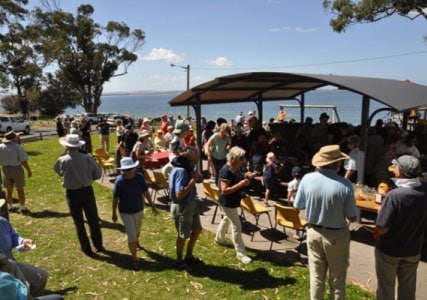
Re-enactment Ceremony 2010
On Thursday 28th January, a re-enactment of a small footnote to history was carried out at the Historic site on the Taroona foreshore. The event was attended by almost 200 people. The photo gallery of the event includes contributions from Richard Verrall, Mick Brown and Deirdre Brown.
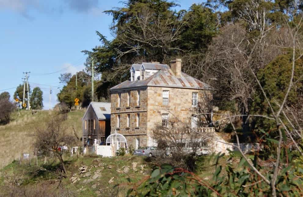
Acton House
Acton house is situated on the northern side of Bonnet Hill and close beside the old Channel Highway.
It is reputed to have been built in 1842 to house the superintendent of Brown’s River Probation Station (ie convict station).
> Download excerpt from the Taroona Book
> See article from On The Convict Trail blog
Browns River Probation Station Brickfields
In the last few years a track, which leaves from Wootten Drive on Bonnet Hill, provides viewing of the scanty remains of the brickfields.
Kingborough Council, with the support of the South East Tasmanian Aboriginal Corporation, has erected an interpretative panel at the beginning of the Brickfields Track.
The panel recognises the habitation of the Browns River area by the muwinina people and also the European history of the site.
The Brickfields Track provides an opportunity for visitors to pass through the site of the brickworks which provided work for convicts and materials for the construction of the Browns River Probation Station and associated buildings. The area housed, at its peak, over 350 convicts that constructed the Browns River Road, now the Channel Highway.
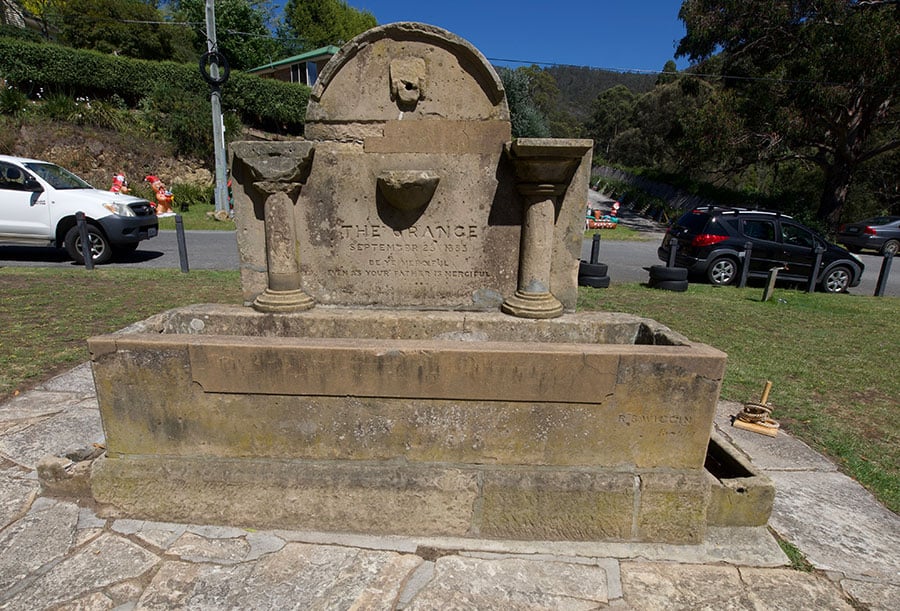
The Grange Horse Trough
The trough is situated on the grassy area at the northern boundary of Taroona, also the northern entry to Kingborough municipality.
It has this inscription:
The Grange, September 23rd. 1883
Be Ye Merciful
Even as Your Father is Merciful
1967 Bush Fires
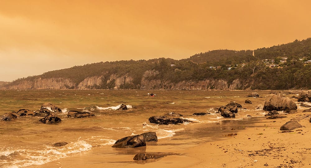
In February 1967, southern Tasmania was engulfed in the most vicious wildfires on record, resulting in many deaths.
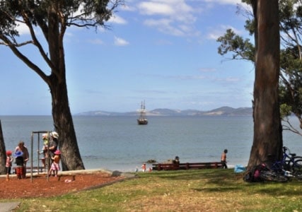
Taroona was the closest suburb to the city of Hobart to take the full brunt of the fires, which swept across the suburb in the mid afternoon, wreaking havoc, and destroying many homes. Children and residents fled to the river, and many people’s survival was due to the refuge the safe waters provided.
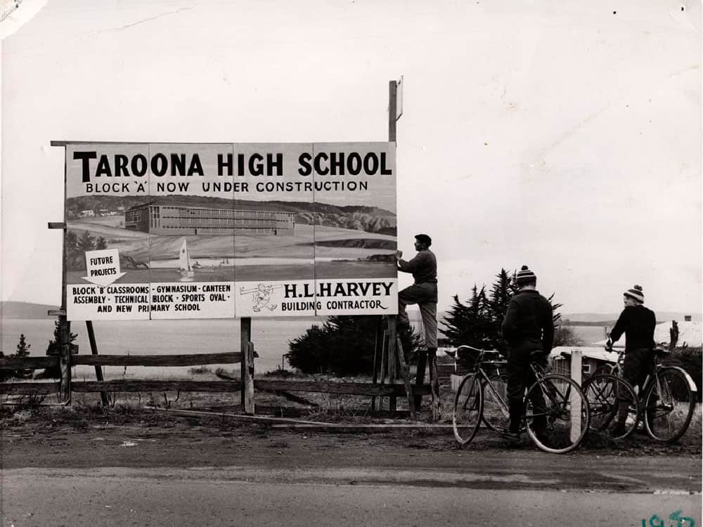
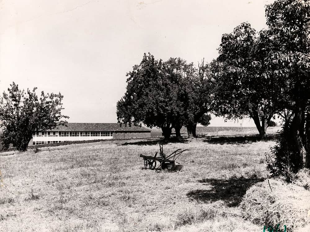
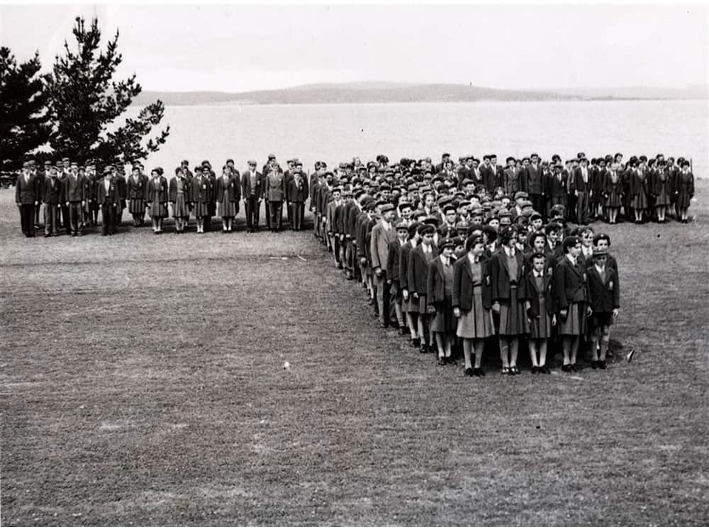
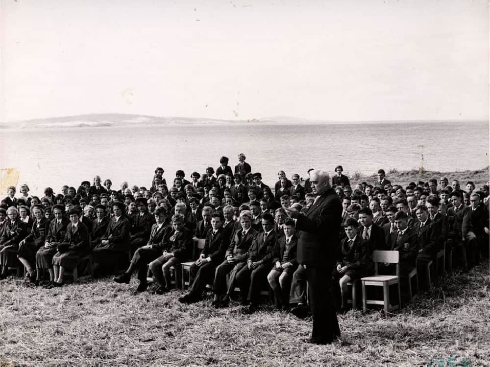
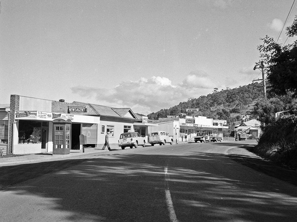
Historical Photos