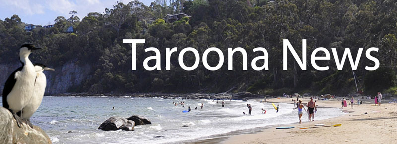
The Taroona Environment
Taroona is a leafy suburb flanked by the Derwent Estuary foreshore to the east and the forested Taroona hills to the west. On its southern boundary is the spectacular Alum Cliffs.
There are five good swimming beaches: Hinsby Beach, Taroona Beach, Becks Beach (Melinga Place), Retreat Cove (Taroona High School) and Grange Beach. Taroona Beach and Becks Beach are the only two with close road access. The other beaches are accessed via a short walk from a nearby road.
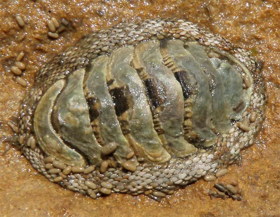
The name Taroona is said to derive from the Aboriginal word for the chiton, a marine mollusc found on rocks in the inter-tidal and shallow sub-tidal regions of our beaches.
Volunteer Landcare Group
The Taroona Environment Network (TEN) is a local volunteer Landcare group founded by Dr. Ralph Chapman in 1997 to protect and restore the biodiversity of Taroona’s foreshore.
Equally as important as the practical land care, is TEN’s environmental education and advocacy work, providing information and resources about Taroona’s biodiversity and promoting awareness of environmental issues, from low flammability gardens to climate change.
Visit the TEN website ten.org.au to learn more about their work and how you can be involved.
You will find information on Taroona’s Native Plants, Habitat Gardening, Common Weeds, Low Flammability Plants and much more.
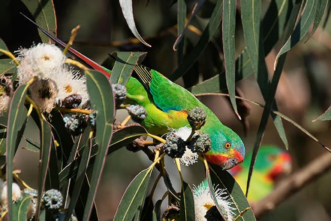
Birds of Taroona
Photo Catalogue
Local resident Mick Brown has photographed a full catalogue of birds to be found in the Taroona area.
Article: Changes in Taroona bird species occurrences (1986-2019)
by Mick Brown and Peter Vaughan.
>Read article (pdf)
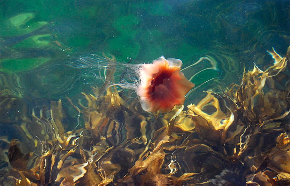
Marine Biology
Local ecology articles from local resident Simon Grove
Tasmanian Nature Through The Looking Glass (pdf)
Jimbles In The Derwent (pdf)
The Derwent Estuary
Ocean Planet has made a short film about Tasmania’s unique marine life. This film features parts of the Derwent Estuary at Taroona.
> View video (3 mins)